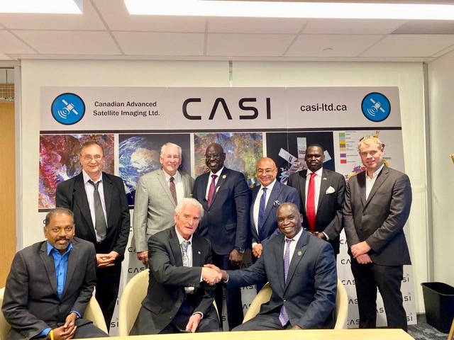
Signing a historic agreement with Interoceanmetal Joint Organization (“IOM”) of the United Nations
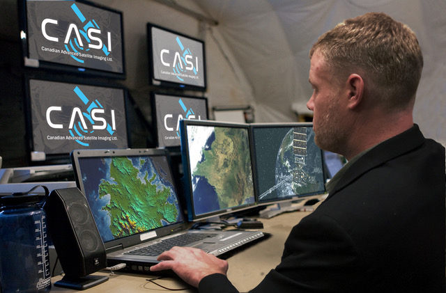
Canadian Advanced Satellite Imaging (CASI) Ltd. provides cost-effective solutions to the mining departments of countries that might not be able to afford dealing directly with organizations such as NASA or other government institutions engaged in satellite imaging in the United States, Canada or the EU countries.
We provide satellite imaging and interpretation services to governments only. We do not deal with the private sector. It is important to note that we do not and cannot bypass informing the Canadian and US governments of the nature and extent of our activities in various client countries.
We analyze, interpret and develop satellite images of mineral resources and avail various governments of our products and services. Our remote sensing data, geological maps and related compilations are sold exclusively to governments, not the private sector. By licensing the use of our images of mineral resources to governments only, the ability to make derivative products from our satellite imagery is protected.
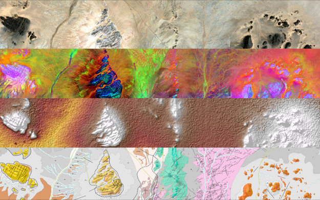
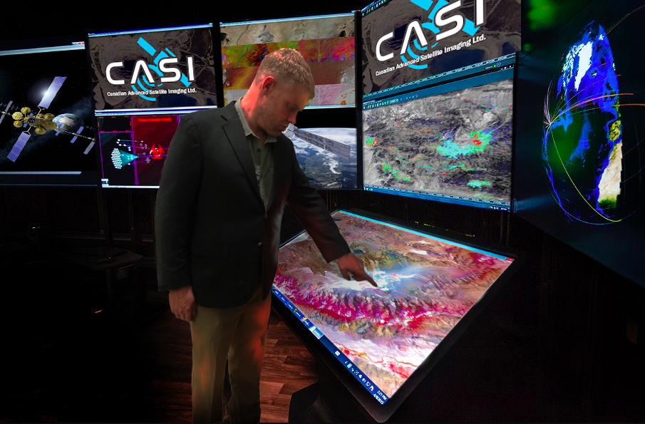
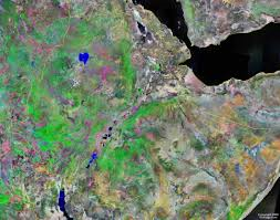
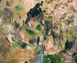
The resolutions of satellite images we acquire vary depending on the instruments used, the software employed, and the altitude of the satellite orbits that the US government and the client governments permit us to use. Our satellite imagery is often supplemented by aerial photographs, which have a much higher resolution for detailed composition and geomorphologic mapping of surface soils and bedrocks.
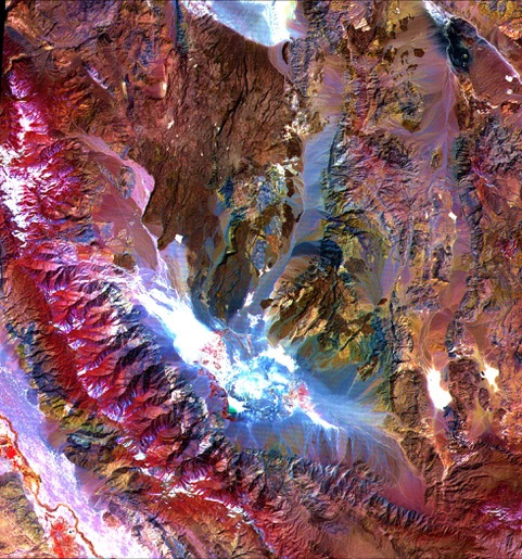
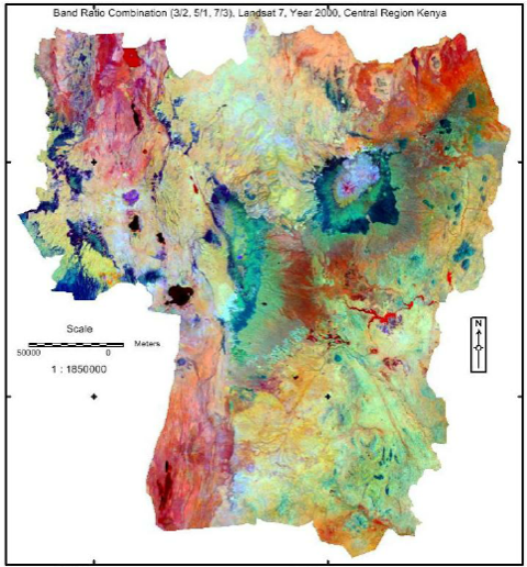
Due to the multiple bands that the satellites carry it becomes possible to interpret wavelengths that cannot be seen by the naked eye. Near infrared, short wave infrared, and thermal infrared can be used to identify the difference in structural features of the earth's surface.
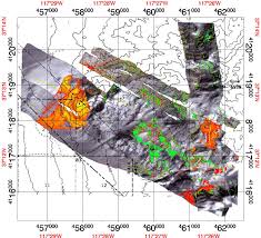
Multispectral imaging and thematic mapping allow the collection of reflection data and absorption properties of soils and rocks. This data could be utilized by trained photogeologists to interpret surface lithologies, identify clays, oxides, and soil types from satellite imagery.
Remote sensing is used as a tool to extract information about the land surface structure, composition or subsurface, but is often combined with other data sources providing complementary measurements. Multispectral data can provide information on lithology or rock composition based on spectral reflectance. Radar provides an expression of surface topography and roughness, and thus is extremely valuable, especially when integrated with another data source to provide detailed relief.
Remote sensing is not limited to direct geology applications - it is also used to support logistics, such as route planning for access into a mining area, reclamation monitoring, and generating base maps upon which geological data can be referenced or superimposed.
Geological applications of remote sensing include the following:
We work very closely with CVMR® Corporation in Canada, United States and UK. CVMR® assists us in the analysis of the mineral resources and interpretation of certain portion of the data we acquire via satellite imaging. We have a joint board of directors with CVMR® Corporation.
We also use a number of outside corporations for complex data interpretation, if and when such assistance is required.

Capitan Sayed Suhail Hashim
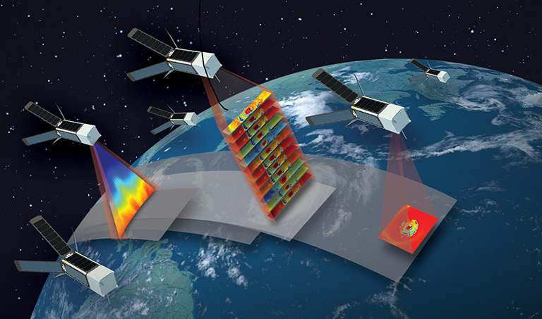
Satellites, like any complex system, require the application of a systematic, rational process for their design. Although the essential elements and overall structure of systematic design processes are common, each application may require some customization to be as effective as possible. CASI provides end‐to‐end solutions for governments whose geospatial information needs require large‐area coverage, repetitive monitoring and at times, frequent revisits with an integrated system that includes a constellation of earth observation satellites and a ground processing segment capable of delivering custom geospatial solutions.
Although there has been a recent emphasis on small satellites because of their low cost, short development times, relative simplicity, and cost efficiency, these satellites do have drawbacks. Their small size results in small surface scans, which is the direct result of payload, thermal and power constraints.
CASI’s affiliation with NASA and CVMR Corporation creates synergies that facilitate use of wide swaths imaging, frequent observations, accurate delivery and analyses. Our services are unique and comprehensive.
Our company is 16 years old. We recently rebranded the company so as to reflect our services more accurately. Our board of directors and senior staff consist of geologists, aerospace specialists, chemical engineers, computer software and hardware engineers. We would be happy to provide interested parties with each staff member’s profile and qualification certificates.
We have offices in Canada, the United States, UK, Saudi Arabia and Mexico.
CASI scientists keep the company at the frontier of imaging technologies.
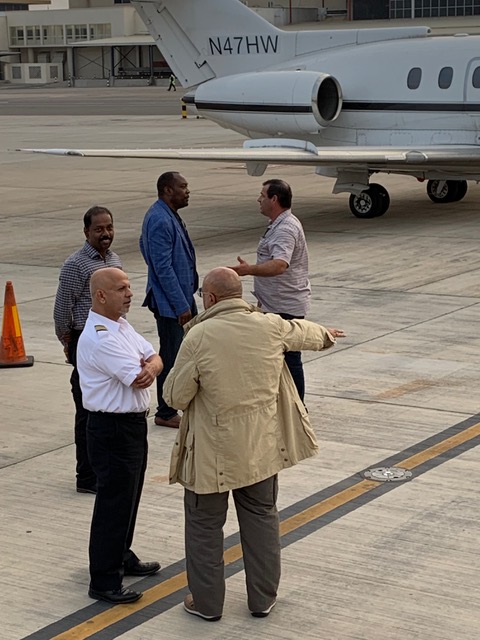
Meeting with Clients at CASI Office
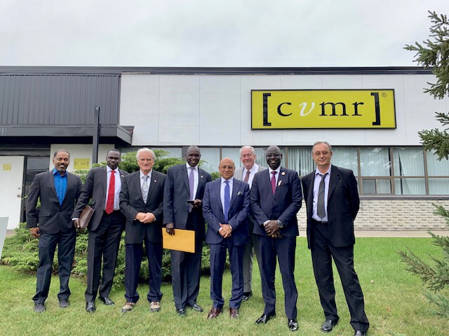
CASI and its Clients Visiting CVMR Corporation
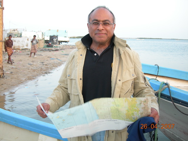
Confirming satellite images on the ground on an island in the Red Sea.
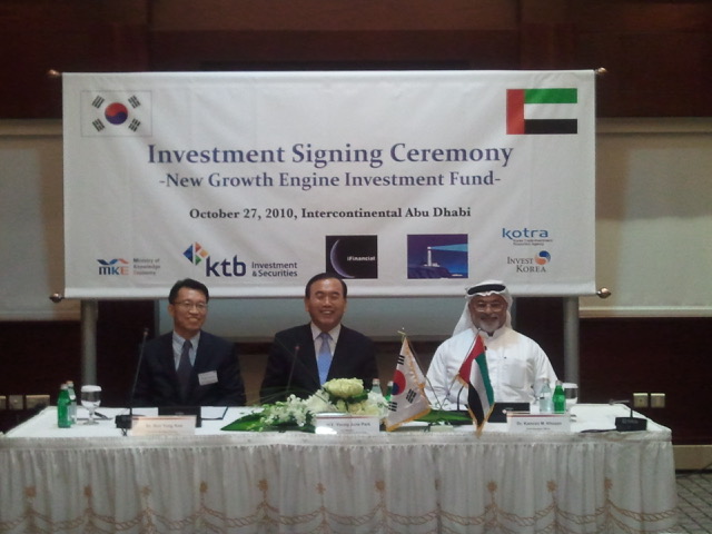
Investors from South Korea and UAE.
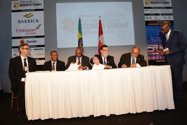
Signing an agreement with Ethiopian Government.
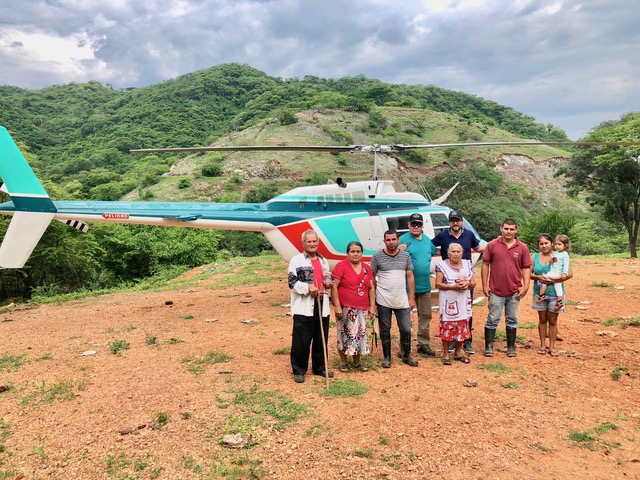
Meeting the locals at a mine site in Mexico
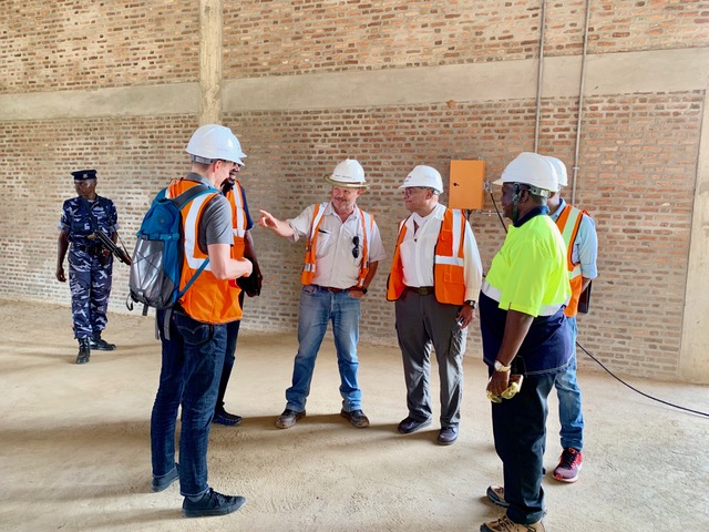
Planning a geological survey in Burundi
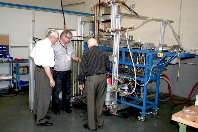
Planning a flyover
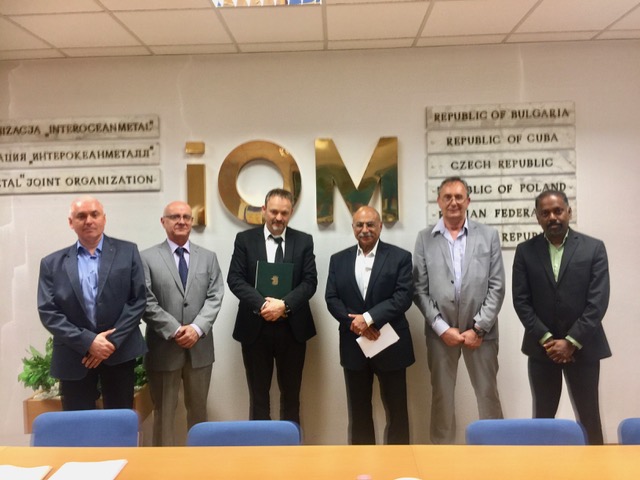
Signing a historic agreement with Interoceanmetal Joint Organization (“IOM”) of the United Nations
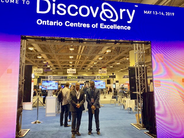
Winner of Ontario Centre of Excellence.

N. Victor Emmanuel of CVMR, Mehmet Bozdemir and Michael Hargett in CASI's corporate helicopter over Turkey

Reaching an agreement with the Government of Bolivia for refining lithium on top of Salar de Uyuni.
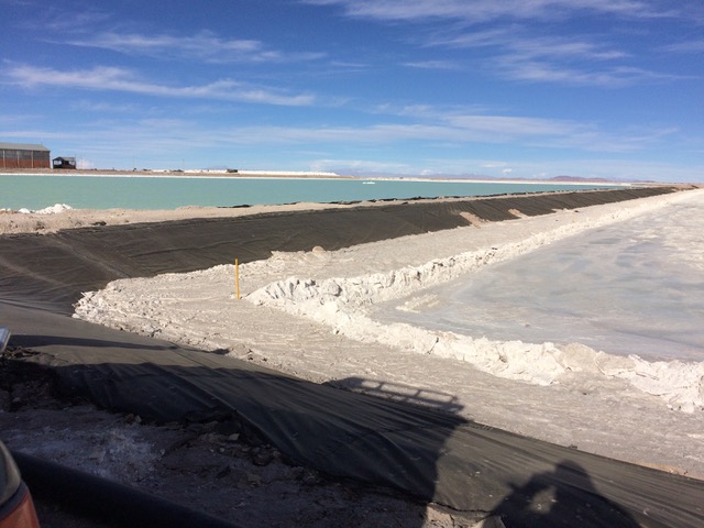
Salar de Uyuni, Bolivia (Source of Lithium and Magnesium)
info@casi-ltd.ca
For further information please contact us

